Route Z Widening and Signalization (Interstate Drive to Perry Cate Boulevard): This project will widen Route Z to a four-lane facility south of Interstate Drive to Perry Cate Boulevard with dedicated left-turn and right-turn lanes at key side streets. Associated with this widening is also the widening/ replacement of the bridge over Peruque Creek to accommodate the four-lane cross-section and the extension of a multi-use trail. The existing three-foot paved shoulders will be replaced with six-foot wide shoulders. In addition to the pavement and bridge widening, this project also will be adding a traffic signal at the intersection of Route Z and Peruque Hills Parkway/ Peruque Ridge Boulevard.
September 2021: The City of Wentzville entered into a project agreement with MoDOT for Cost Share funding and local maintenance funds.
February 2022: The City of Wentzville entered into a project agreement with St. Charles County for use of St. Charles County Road Board Funds.
May 2022: City selected a design consultant and entered into an agreement with Oates Associated for the design of this project.
July 2022: The design contract is being approved by MoDOT with the obligation of MoDOT funding. Will anticipated the design to begin in August.
May 2023: Preliminary Plans are being drafted. Anticipate and Public Meeting fall 2023 for the project.
August 2025: Public Meeting Open House scheduled.
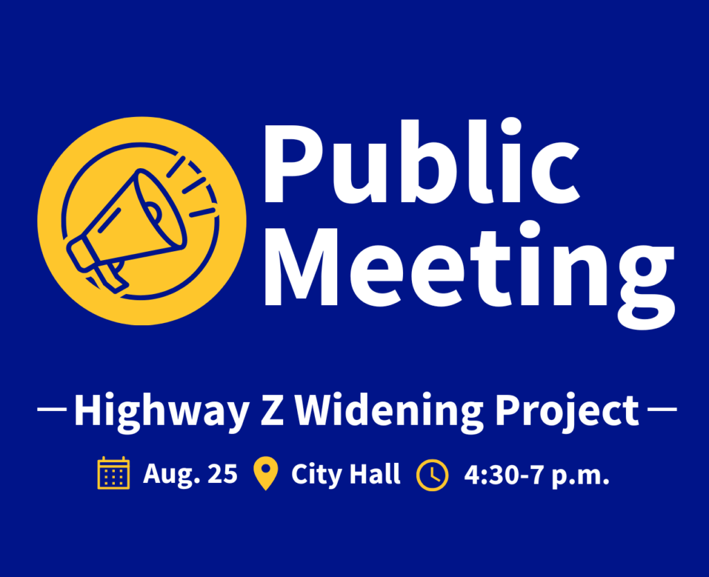
Aug. 25, 2025 – Join us for an Open House on Monday, Aug. 25, from 4:30-7 p.m. at Wentzville City Hall to learn more about the upcoming Route Z Widening Project. This project will expand Route Z between Interstate Drive and Perry Cate Boulevard to a four-lane roadway, add turn lanes at key intersections, widen the Peruque Creek bridge and include a new traffic signal at Highway Z and Peruque Hill Parkway/Peruque Ridge Boulevard. This is a jointly funded project between the City, St. Charles County and the Missouri Department of Transportation. Stop by anytime during the event to view project details and talk with the team.
Phase 2: The Wentzville Parkway South Phase 2 improvement project will build upon the Wentzville Parkway South Phase 1 project by extending Wentzville Parkway South to Interstate Drive. The proposed cross-section will include a two-lane cross-section with curb and gutter and curb inlets along the east side of the roadway and an improved shoulder on the west side that will drain to an open ditch system. The cross-section will allow for future expansion to a five-lane cross-section when traffic demands call for it. The proposed project also proposes to build a 6-foot sidewalk along the east side of the roadway that will connect to the recently constructed Interstate Drive Trail. Also proposed as part of this project is the construction of a grade-separated crossing at the Norfolk Southern Railway.
May 2019: A notice to Proceed was issued to the design consultant.
January 2020: Preliminary Plans completed.
August 2020: Right of Way Plans completed and the land acquisition process has begun.
December 2021: Final Bridge Plans have been submitted to Norfolk Southern Railroad for review. Right of Way acquisition process is ongoing.
April 2022: Continued Right of Way acquisition and Final Plans.
March 2023: Continuing Right of Way acquisition and Final Plans.
June 2023: Right-of-way acquisition is still underway. Final Plans are being reviewed by Norfolk South Railroad for final approval.
November 2023: Right-of-way acquisition is still underway. The Norfolk Southern Railroad Construction Agreement has been fully executed. Final Plans have been approved by NS Railroad.
August 2024 – Final Plans are being finalized. The city is working with Norfolk Southern Railroad on the final easement documents. Utility relocation coordination is taking place.
August 2025– Utility Relocation has started. The project has been delayed for Construction Bidding due to the last Right-of-Way acquisition for the last parcel.
March 2026– Right-of-Way acquisition is complete. The city is working on construction bid documents. Project anticipated to be out to bid late spring 2026.
For questions, please contact Tony Gambaro, Assistant Director of Engineering at (636)639-2053 or email Tony.Gambaro@wentzvillemo.gov
This project will provide a new outer road system that would link the new interchange at Route 61/Peine Road/Highway P to Wentzville Parkway. The first portion of the outer road has been constructed from Peine Loop Road to Jockeys Run. This project will continue the 2-lane outer road from Jockeys Run to Wentzville Parkway, along with providing dedicated left-turn lanes at key locations. Once this connection is completed, it is anticipated that the access openings will then be eliminated on Southbound Route 61. Elimination of these access openings is a major step toward the reduction of accidents and congestion on Route 61. The project also includes a roundabout at Great Oaks Boulevard. To accommodate bicyclists and pedestrians, a 10-foot-wide multi-use path will be constructed on the west side of the outer road, connecting to the existing multi-use path on Wentzville Parkway. New sidewalk connections at the roundabout will be provided to connect the multi-use path to the existing sidewalk along Great Oaks Boulevard.
Project Location: New outer road from Jockeys Run to Wentzville Parkway. Click here to see a map.
Project updates:
April 2025– County funding for Right of Way acquisition has been approved. The city is working on the acquisition phase currently.
August 2025– Awaiting MoDOT U.S. 61 Safety study and public meeting to determine their priority improvement needs. This will allow the City to determine if the Outer Road is going to be a priority for MoDOT or the City.
For questions, please contact Matt Wohlberg, Director of Engineering at 636-327-5101 or email matt.wohlberg@wentzvillemo.gov.
Description: A consultant is providing additional analysis to supplement the Wentzville Parkway South Extension Corridor Study completed in early 2013. A corridor alignment that is supported by the local governments and citizens is essential for the corridor preservation process. The intent of the study is to engage the public in developing solutions and to accurately define future construction costs of the project and preserve land prior to future development.
The City of Wentzville in cooperation with the County of St. Charles have coordinated to supplement the initial Study to consider an at grade railroad crossing, improvements to the Wentzville Parkway Interchange, traffic signal optimization and traffic flow improvements from Veterans Memorial Parkway to the traffic signal in front of Home Depot. In summary, the objectives of the Supplemental Study are to establish a feasible, cost effective and locally supported interchange with Interstate 70, determine the feasibility and cost of an at grade crossing for the Norfolk Southern Railroad, and recommend traffic flow improvements of the section of Wentzville Parkway immediately north of the Interstate 70 interchange.
For questions, please contact Tony Gambaro, Assistant Director of Engineering at (636)639-2053 or email Tony.Gambaro@wentzvillemo.gov
The City of Wentzville is planning a new roadway for western Wentzville and St. Charles County. The proposed roadway, referred to as the David Hoekel Parkway, would provide a new connection between I-70 and US 61. Beginning just south of I-70 at Point Prairie Road and Jackson Road, the parkway passes north and east through parts of Wentzville before ending near Mette Road and Highway P in Flint Hill.
The David Hoekel Parkway Environmental Assessment (EA) is complete and the AJR is in the final stages of approval by the Federal Highway Administration and the Missouri Department of Transportation. The EA is approved with a Finding of No Significant Impact, and the project has moved forward into project design for Phase I. Funding has been identified by the City of Wentzville in cooperation with St. Charles County Road Board to begin design of Phase II with a partial interchange at I-70 and a 2 lane road connecting to Goodfellow Road to the north and Interstate Drive to the South.
David Hoekel Parkway Phase 2D will be a north-south roadway of approximately 5,500 linear feet along an existing 100-foot wide City of Wentzville right-of-way corridor. Once completed, this roadway will help alleviate congestion and convey motorists to and from Interstate 70 to West Meyer Road. This project will complete the final segment of David Hoekel Parkway Phase 2.
Phase 2D of David Hoekel Parkway (DHP) includes roadway improvements along the planned DHP corridor between Goodfellow Road and West Meyer Road. This phase of the project will build upon previous phases of DHP by connecting West Meyer Road to the I-70 interchange at DHP and to the south side of the interstate. The proposed project will construct two lanes of DHP on the eastern side of the corridor, one northbound lane and one southbound lane. The ultimate DHP build-out will consist of a four-lane divided roadway. The timeline for the final corridor buildout is currently undetermined and will be based on future traffic demands. The current phase of this project also includes a sidewalk, which will connect pedestrians to the trail that was recently constructed with the West Meyer Road improvements and to the sidewalk being constructed with the David Hoekel Parkway bridge over I-70.
Timeline of the David Hoekel Parkway When available, please see the underlined dates for additional project details.
August 2025– Project is completed.
November 2024 – DHP opened to traffic. Working on final punchlist items and closeout of project.
August 2024: Construction is ongoing. Pavement is being installed from Bear Creek Drive to West Pearce Blvd. Crews are working on installing street lighting from West Meyer Road to Bear Creek.
Tentative Completion Late 2024.
2023: Grading and Construction of Drainage Facilities
2022: Easement & Right of Way Acquisition
2020-2021: The City entered into a funding agreement with St. Charles County for the final design and construction of Phase 2D of David Hoekel Parkway. The City retained the services of a design firm to prepare plans and specifications for this project. The noise study has been re-evaluated with the preparation of plans for construction.
2018: The City retained the services of a design firm to evaluate this David Hoekel Parkway Phase 2D corridor and provide the City with conceptual plans, cost estimates, traffic circulation reports and a sound wall analysis. During this Phase 2D corridor evaluation, the City evaluated whether the previously recommended four-lane median-divided configuration identified within the David Hoekel Parkway Environmental Assessment that was completed in November of 2014 was still valid for initial construction or if a reduced two-lane cross-section might instead be adequate to serve the anticipated future traffic volumes. The report confirmed that David Hoekel Parkway Phase 2D’s ultimate cross-section shall provide a four-lane median divided cross-section as previously recommended by the David Hoekel Parkway Environmental Assessment but current and near-future traffic volumes only require a two-lane cross-section to be built at this time. As a continuation of the current David Hoekel Parkway Phase 2C project (Interstate 70 north to Goodfellow Road), the traffic circulation report also confirmed that building the eastern half of the ultimate roadway cross-section (the northbound lanes) with northbound and southbound left-turn lanes at both Bear Creek Drive and Kruger Park Court intersections was recommended until traffic volumes require the additional two lanes (the southbound lanes) to be constructed.
2014: The U.S. Department of Transportation (Federal Highway Administration) approved the City’s proposal to design and construct a new interchange along the I-70 corridor as part of the David Hoekel Parkway designated as Phase 2A, B, & C. The interchange project is expected to be completed Summer of 2021. Phase 2A, B, & C included the interchange at Interstate 70 and a realigned North Outer Road as well as the intersection of David Hoekel Parkway and Goodfellow Road/North Outer Road. The David Hoekel Parkway Phase 2D project will begin at this intersection and proceed north to tie in with West Meyer Road.
2009-2014: The City submitted a draft Environmental Assessment to the U.S. Department of Transportation Federal Highway Administration (FHWA). This document considered and evaluated project alternates and environmental consequences for impacts to land use, water quality, cultural resources, threatened and endangered species, air quality, noise and construction impacts among other factors. The FHWA issued approval of the Environmental Assessment and issued a Finding of No Significant Impact.
2003: The Corridor Preservation Study allowed the City to coordinate with proposed and planned development to preserve the Right of Way.
2001: The City studied a corridor (several alignments) and involved the public for comment which identified this corridor called the “I-70/US 61 Beltway Corridor Preservation Study.”
1999: The City first adopted a Comprehensive Plan identifying the need for a new roadway
For questions, please contact Tony Gambaro, Assistant Director of Engineering at (636) 639-2053 by email at Tony.Gambaro@wentzvillemo.gov.