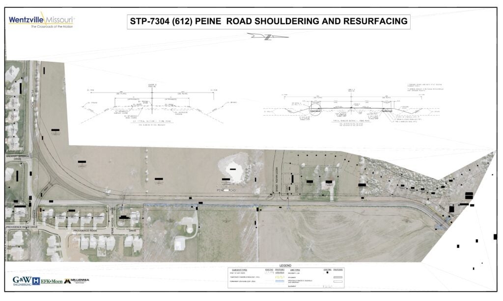
Project description:
The project involves Wilmer Road between Interstate Drive and the Peruque Creek Bridge. This section of Wilmer Road is a country road that now serves as a collector roadway based upon recent residential development. As such, these project limits require updating to serve the current and anticipated use of Wilmer Road.
The current typical section of Wilmer Road between Interstate Drive and the Peruque Creek Bridge is a bidirectional, two-lane roadway with 11-foot-wide lanes and no shoulders. The drainage for Wilmer Road uses roadside swales that leave little separation between the travel lane and the downward slope into the swale. In addition, the southern portion of the Wilmer Road project limits pass through the lowlands along Peruque Creek, where the headwalls of two culverts are situated immediately adjacent to the edge of the driving lane.
The existing vertical curvature of Wilmer Road presents sight distance concerns for two of the residential subdivisions near the north end of the project limits.
The proposed Wilmer Road Improvement Project aims to make Wilmer Road a safer road for motorists and to provide space for cyclists to safely use the Wilmer Road corridor. Specifically, the primary aspects of the Wilmer Road Improvement Project include:
1. Establishment of a 32-foot-wide pavement typical section to include:
· Two 11-foot-wide lanes
· Five-foot-wide shoulders on both sides of Wilmer Road
2. Vertical curve adjustments to improve sight distance, particularly between Wolf Run Lane and Wilmer Valley Drive
3. Pavement repairs and resurfacing
4. Re-establishment of roadside drainage swales
5. Culvert extension and/or replacement to accommodate the wider pavement cross-section
6. Implementation of signage and/or guardrail, as appropriate, to improve roadside safety
7. Study of the impacts of the Wilmer Road widening on the Peruque Creek regulatory flood plain and floodway.
December 2023 – City selected design firm.
December 2024 – Received Preliminary Plans.
February 2025– City applied for MoDOT funding for the project.
Summer 2025 – The City was notified that we were unsuccessful in obtaining MoDOT funding for the project.
For questions, please contact Tony Gambaro, Assistant Director of Engineering at (636)639-2053 or email Tony.Gambaro@wentzvillemo.gov

 The City of Wentzville will hold an open-house public meeting on July 31, 2024, to discuss the Mexico Road Safety Improvements Project. This proposed project will resurface the existing Mexico Road, approximately between Josephville Road and Brookview Way Drive, widen the shoulders, realign the intersection at Hancock Road, and add an additional sidewalk from Lakeview Elementary School to Westwind Park Drive. To view the rough drafts click