Transportation
Traffic Count
Click this link to access the City’s Interactive Map. An option on this map is to see the City’s traffic counts. By enabling this filter, you will see all the latest traffic counts as ADTs (Average Daily Traffic) along with the date that count was taken.
Transportation
Wentzville truly is the “Crossroads of the Nation.” The community is strategically located at the intersection of I-70 and I-64/US Hwy 61. Most forms of transportation are either located in, or are in close proximity to, the City of Wentzville. To see the city’s Thoroughfare Plan, click here.
Distance to Select Cities
| City | Road | Rail |
| Los Angeles | 4 Day | 5 Days |
| New York | 3 Days | 4 Days |
| Chicago | 1 Day | |
| Dallas | | |
| 2 Day | |
| Miami | 3 Days | 4 Days |
Air Service
The nearest major airport, Lambert St. Louis International Airport, is a 30 minute drive from the city of Wentzville. Lambert St. Louis International Airport offers multiple daily flights from a variety of airline carriers. In addition, the Spirit of St Louis Airport, a full-service, public regional airport, is located just 20 minutes away in Chesterfield.
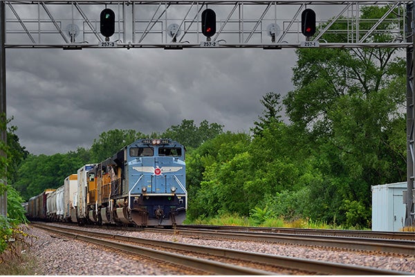
Rail Service
A Norfolk Southern Railroad Switching Classification Yard is located in Wentzville.
- 9 trains daily through Wentzville
- 3 local switching trains
- Switching 6 days a week or as needed
For the current Traffic Counts in the city of Wentzville see above. You will be taken to the city’s Interactive Map. A button at the top of the map will give you an overlay of the current traffic counts.
Truck Service
Daily truck service is available and is provided by Arkansas Best Freight System, Inc., and Distribution Transportation Services Company. Other facilities are located within easy distance of the community. Overnight courier service is available from FedEx, US Mail and UPS.